Skip to Content
Skip to content

Beaches, boat trips and snorkelling in Sougia

water

From the snow of the White Mountains to the deep water of the Hellenic Trench. All of it passes Sougia.

Scroll

The source0 m

this is where the water begins and ends

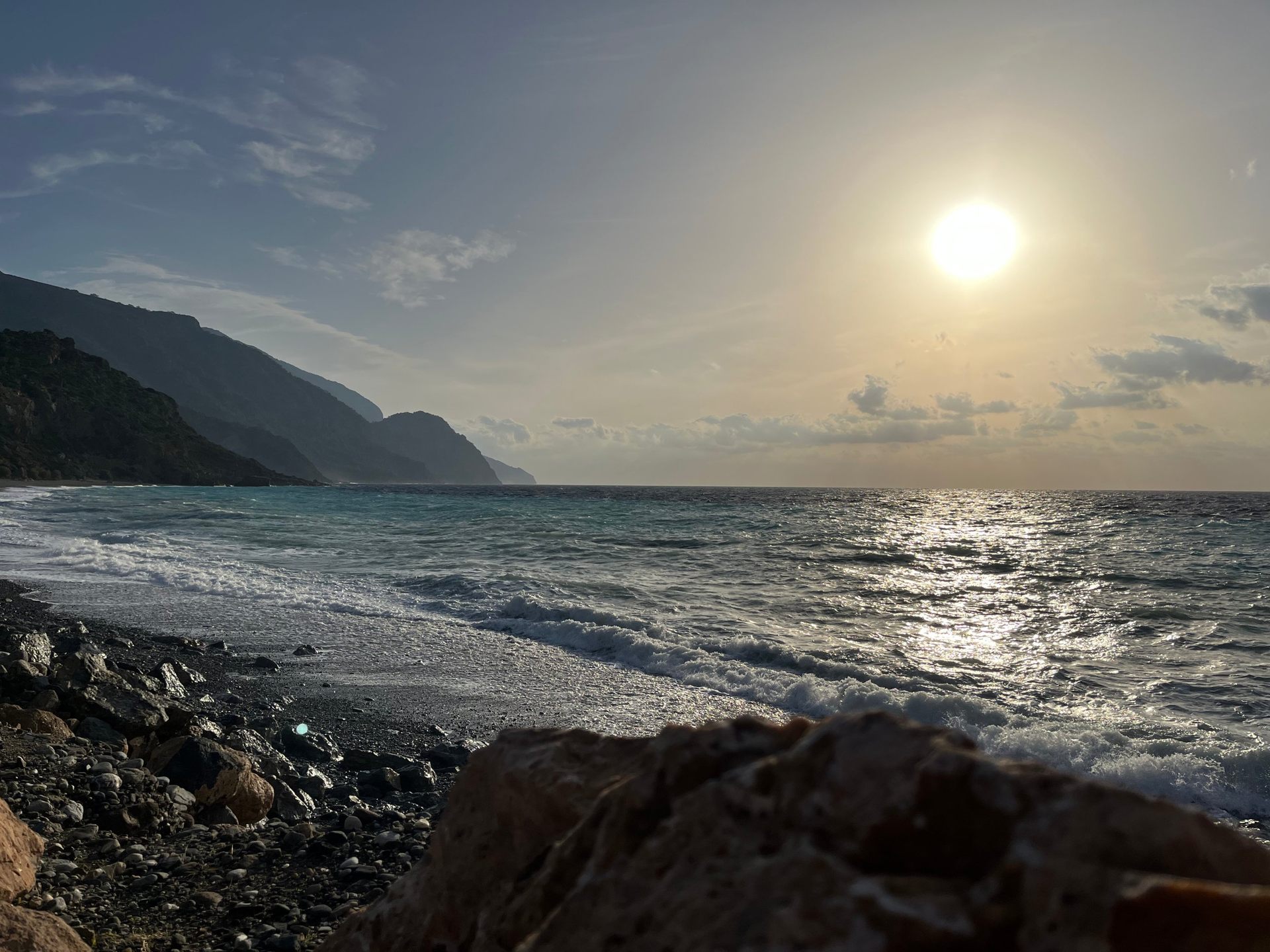
In winter a stream runs through the Agia Irini gorge and empties quietly into the Libyan Sea at Sougia.

By May the stream has mostly disappeared. But the gorge remains: a corridor of stone connecting the mountains to the shore. Then the sea floor drops away steeply from the shoreline, and within a few metres the water shifts from turquoise to a deep, saturated blue.

01 · The gorge

The stream arriving from the mountains

02 · The shore

The shallows at your feet

03 · The trench

The dark blue further out

Turquoise at your feet, deep blue a few metres out.

After the first rainOctober

The day the river came back

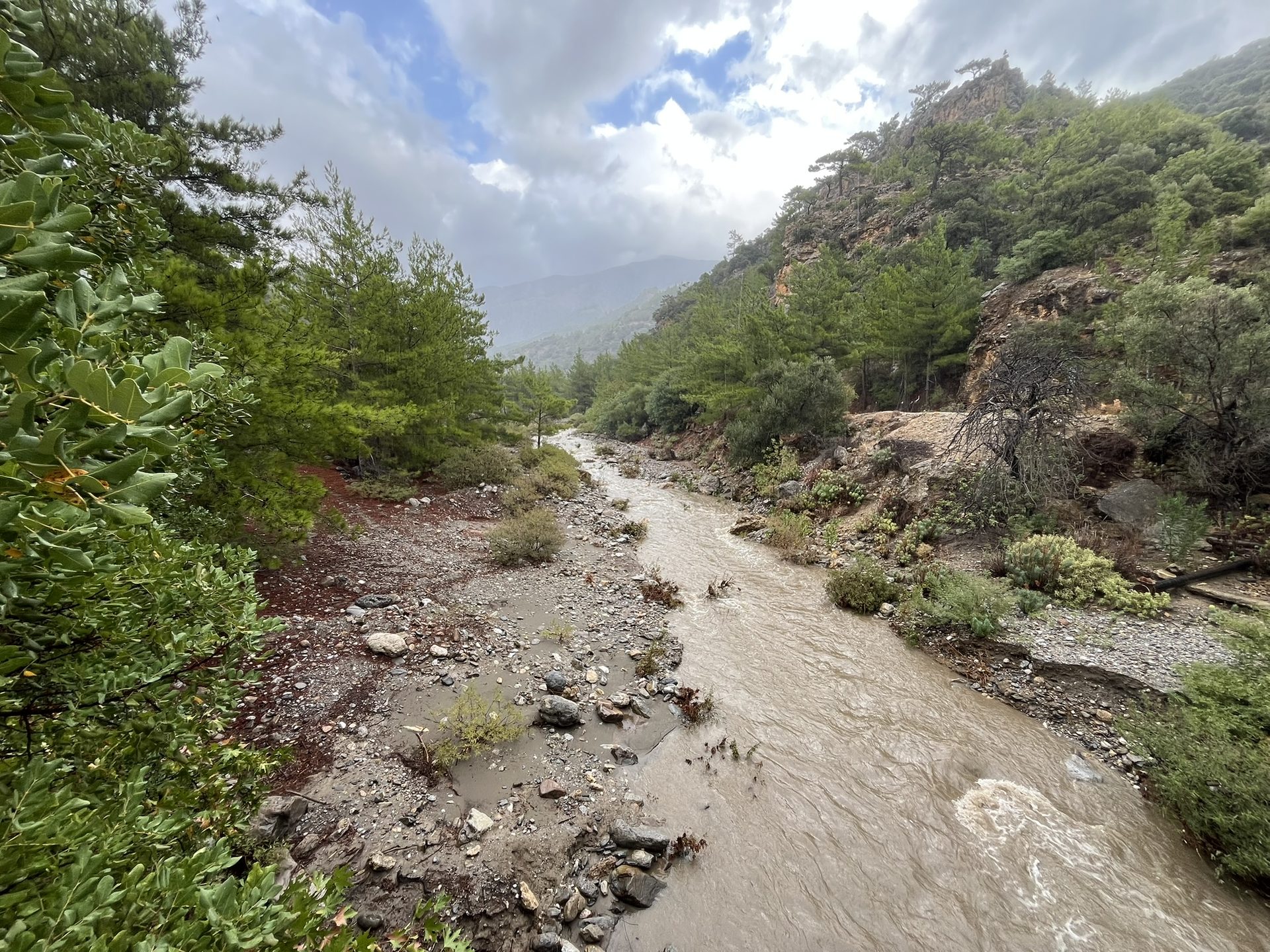
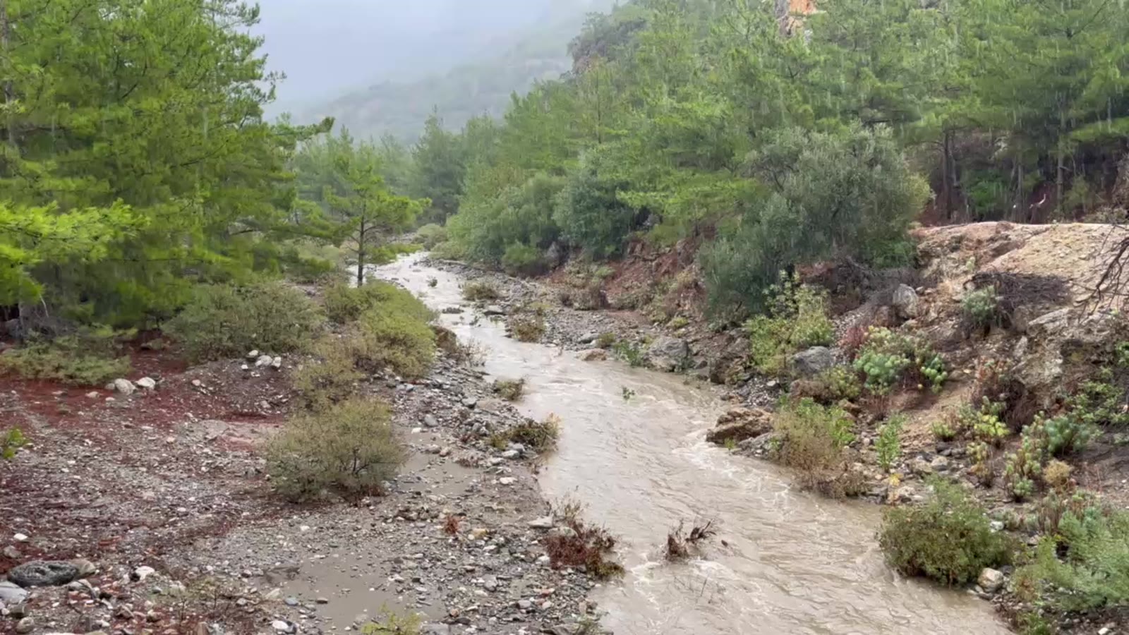
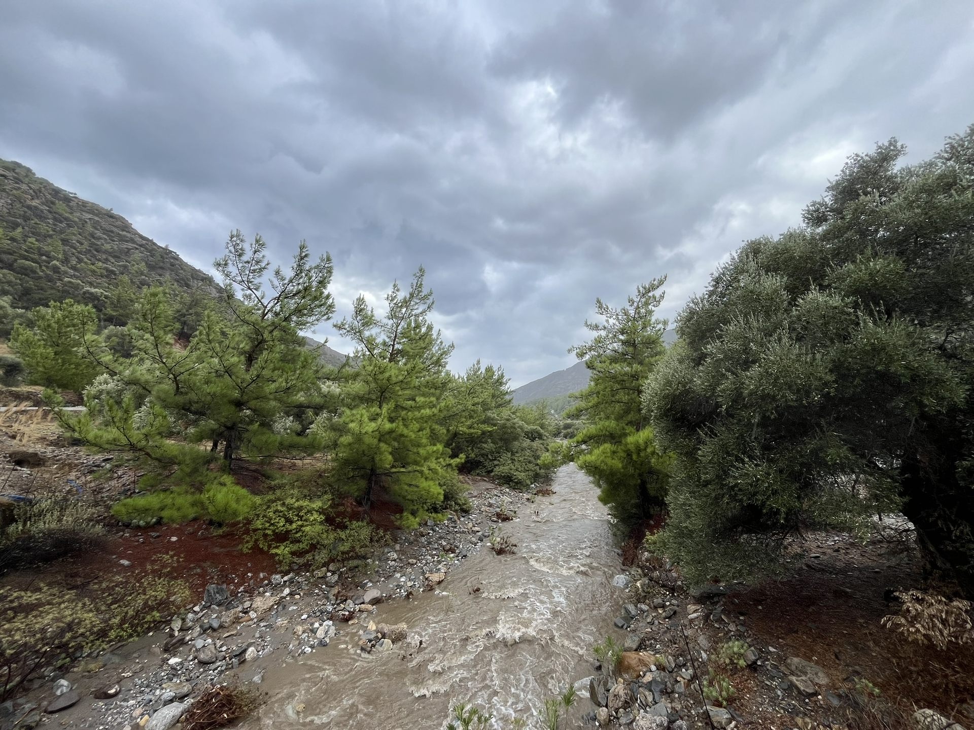
For most of the year the riverbed above Sougia is a road of dry white stones. This October the first heavy rain turned it into a river again, loud, brown and fast.

We filmed it from the bridge on the road to Agia Irini. Few visitors ever see it, which is one more reason to come in autumn.

The swollen stream in a rocky gorge below the mountains
The stream running between pines and red earth after the rain
The river under heavy autumn clouds

A few days laterMorning

Where the river meets the sea

A few days after the rain the river was still running. In the early morning it crossed the beach, spread over a bar of sand and met the waves of the Libyan Sea.

Read about the beach

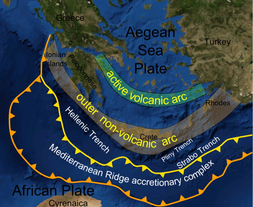
Map of the Hellenic Trench south of Crete

The Hellenic Trenchdeepest point −5,109 m

That depth is not accidental.

The Hellenic Trench runs along the southern edge of Crete, where the African and Aegean plates meet in slow, continuous collision. The same forces that pushed the island up out of the sea also opened the deep water off this coast.

There are not many places where the full vertical range of water is this legible: snow, spring, stream, shore, abyss.

Ways to be in the watereight of them

ways to be in the water

the beach

More than a kilometre of pebbles with deep water close to shore. Calm most days, rarely crowded, even in August.

A Blue Flag beach in 2025 and 2026, with a Sea Access seat that takes wheelchair users into the water. Read about the beach

From AVYSSOS5–10 min walkBestMorningBlue Flag2025 · 2026

Good to know

The naturist area is at the eastern end of the beach.
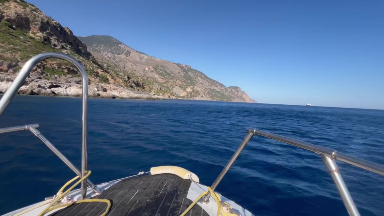
By boat along the coast with no road

boat trips

Daily departures from the village harbour to hidden coves and to Lissos, along a stretch of coast with no road at all.

FromSougia harbourRouteThe coast with no road
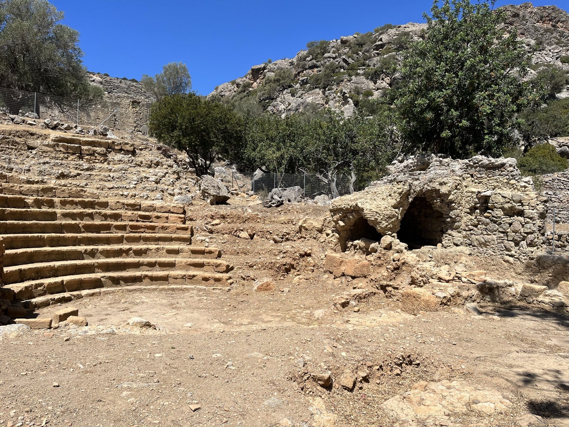
Stone seats of the ancient theatre at Lissos

Lissos gorge & ancient Lissos

A walk of about ninety minutes to a Hellenistic and Roman port with temple ruins and mosaics. In summer, a taxi boat makes the return easy.

Walk~90 minReturnTaxi boat
Read the full walk

snorkelling

The water clarity here is exceptional. Go in the morning, before the wind rises.

Good to know

There is no rental in the village. Bring your own mask, or ask us.
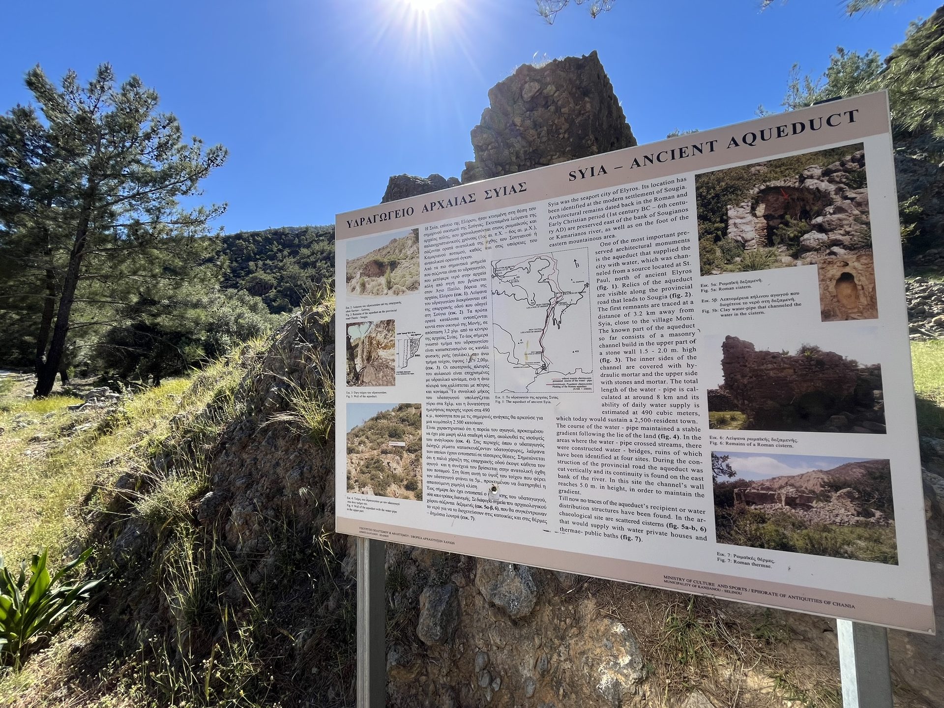
The ancient aqueduct of Syia and its information board

ancient aqueduct of Syia

Roman Sougia was called Syia. Its aqueduct carried water about 8 km from a spring near Agios Pavlos; sections of the wall still stand along the road into the village.

Read the story
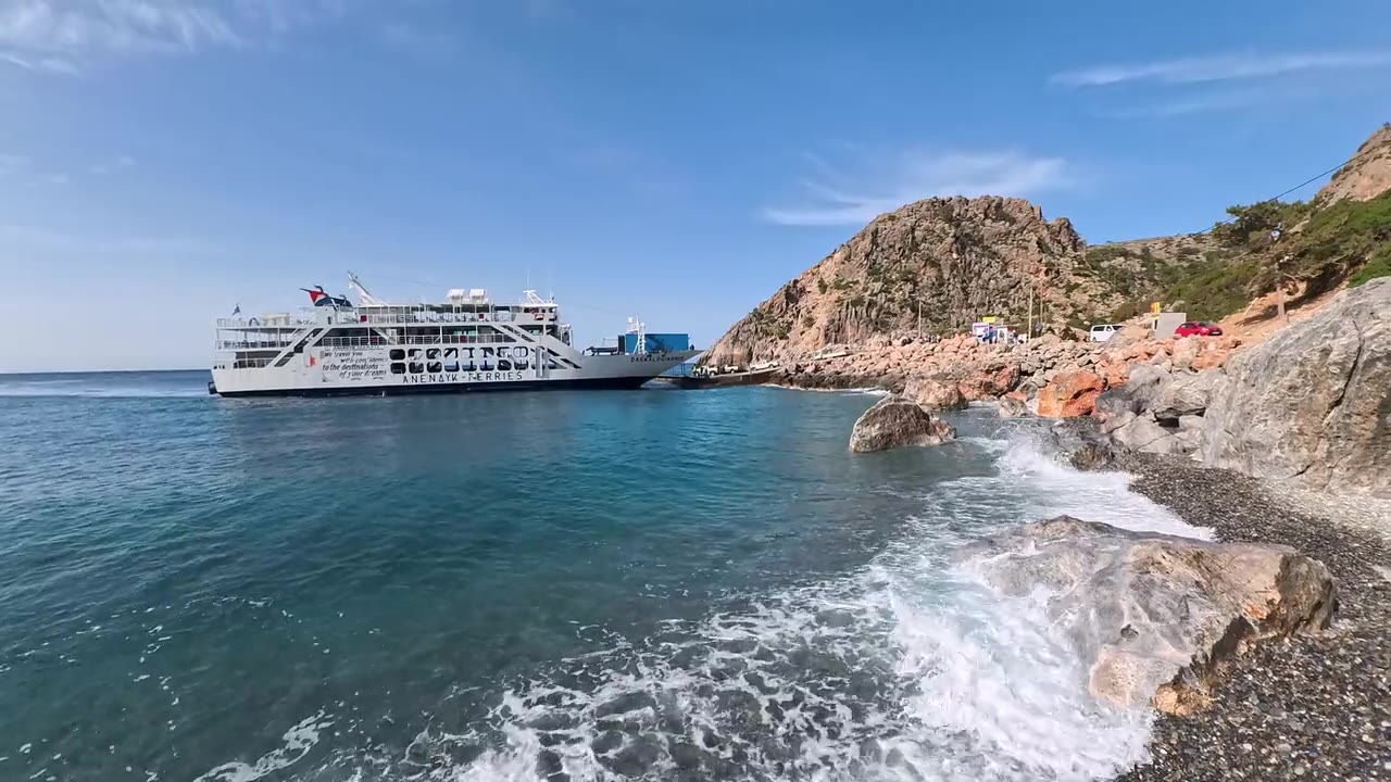
The coastal ferry passing the rocks near Sougia

Agia Roumeli by ferry

A ferry ride of about 40–50 minutes to the southern end of the Samaria gorge, with connections along the coast.

Read more
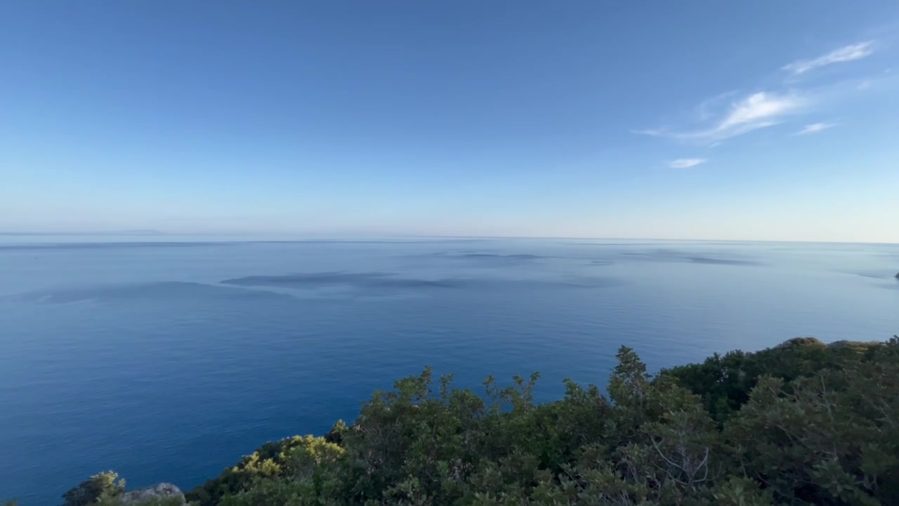
The open deep-blue sea towards Gavdos

Gavdos

The southernmost point of Europe, about two hours by ferry in season. Stay the night.

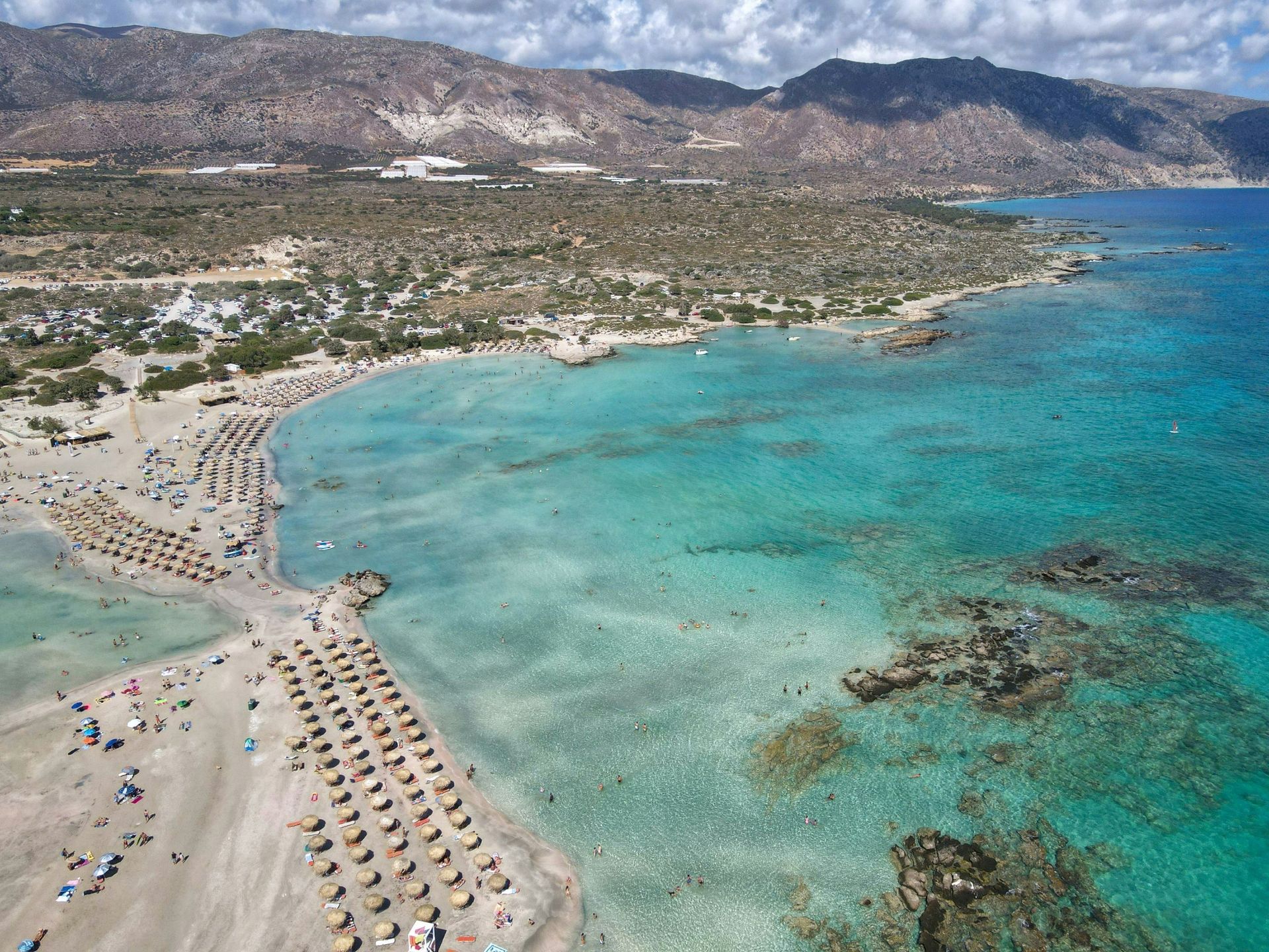
Turquoise lagoon at Elafonisi

Elafonisi beach

Pink sand and a shallow lagoon you can wade across. Go early, or late.

Opening planned for 2027Register your interest

Sun over the seaNext element · IIsun →